
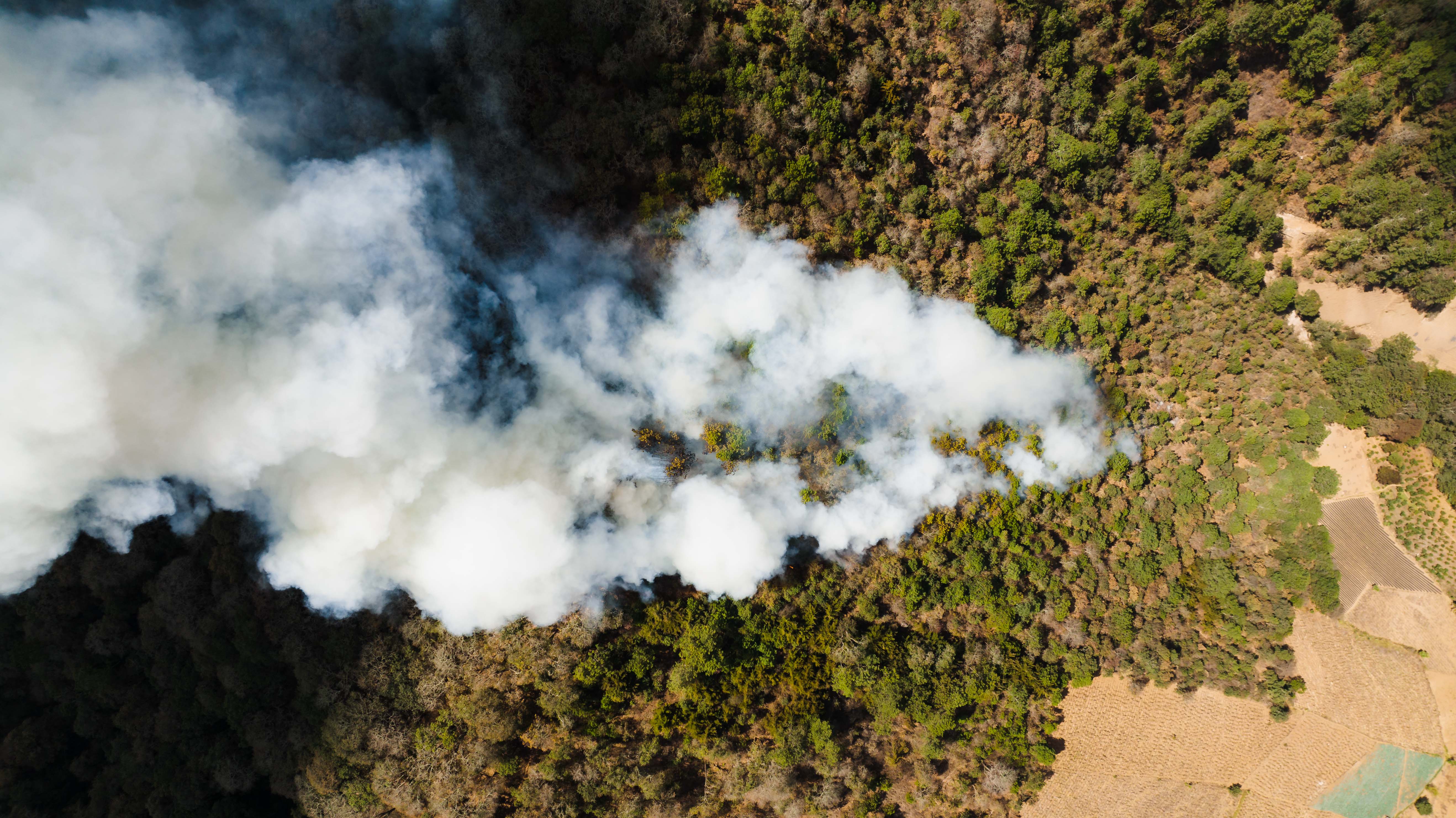
Active smoke and fire-adjacent zones
Perimeters, smoke plumes, exposed properties, access routes, staging areas, and infrastructure near active or recent fire conditions.
Wildfire and emergency operations
Maker Airworks supports public safety, utilities, resorts, large properties, and infrastructure teams with thermal review, perimeter imagery, post-event assessment, access intelligence, and rapid-response aerial deployment.
Wildfire decision path
Start with the incident, the asset at risk, and the safety constraint. Then choose thermal, visual, satellite, mapping, or rapid-response workflows to support smarter decisions.
Do you serve my scenario?
Perimeters, smoke plumes, exposed properties, access routes, staging areas, and infrastructure near active or recent fire conditions.
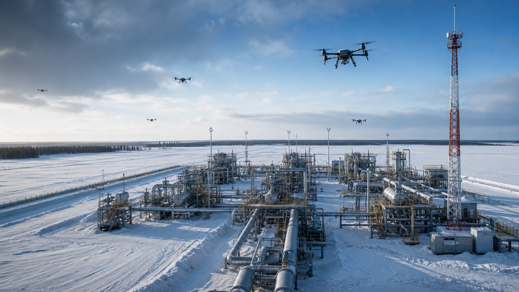
Power corridors, substations, communications sites, access roads, bridges, and remote assets vulnerable to fire damage.
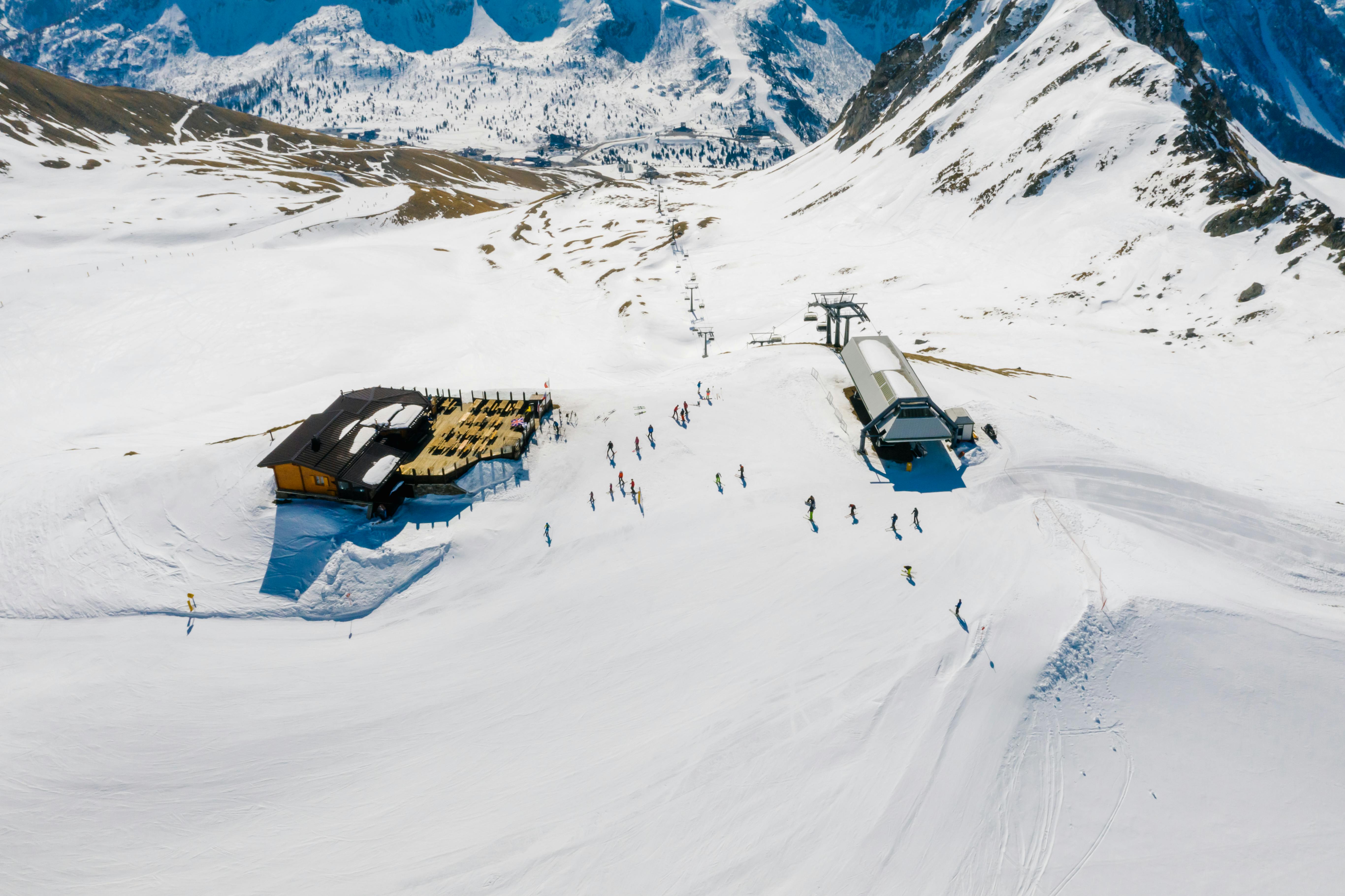
Pre-season baseline capture, defensible space review, post-event documentation, and operational planning for exposed properties.
How the workflow helps
ROI conversation starters